

702fe8949af13fcf4e3749fc08bd48c2.ppt
- Количество слайдов: 65

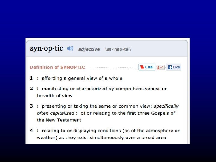
 Why Surface Weather Maps?
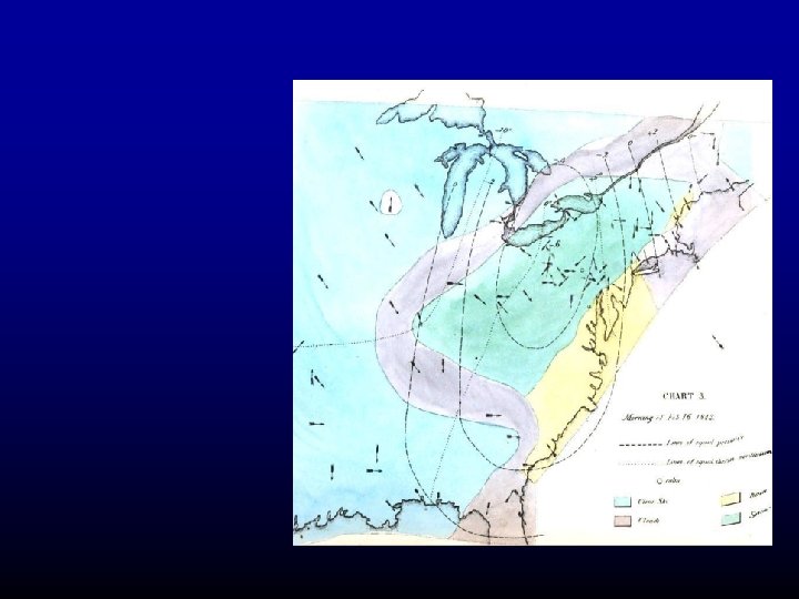
 First Surface Weather Map
 The Telegraphic Communication Revolution
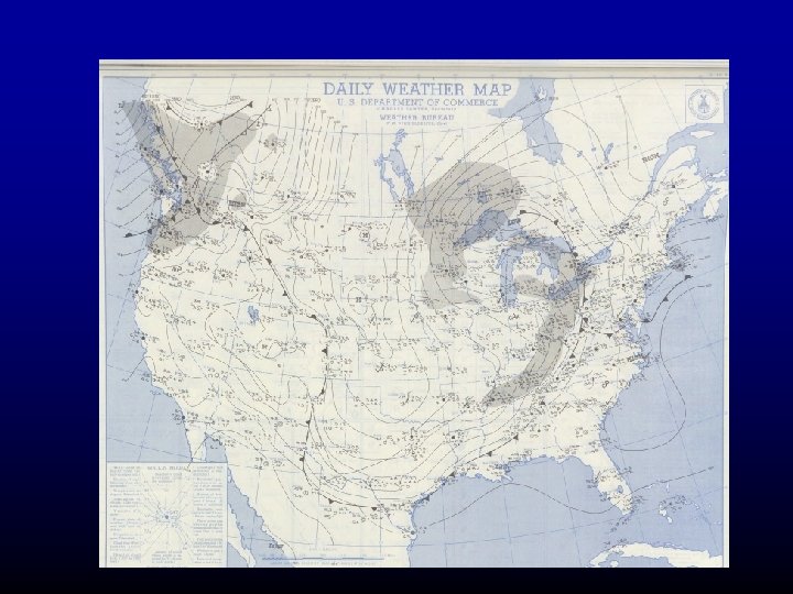
 First Real-Time Weather Maps
 Fronts
 Fronts
 Still Used Today
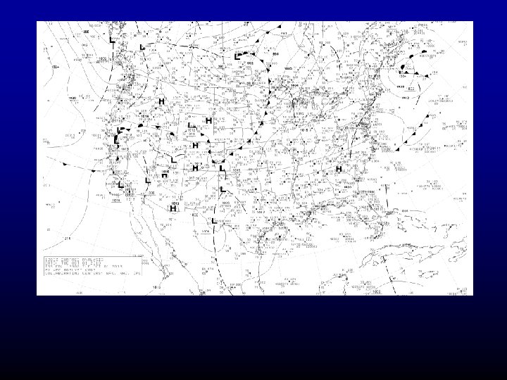
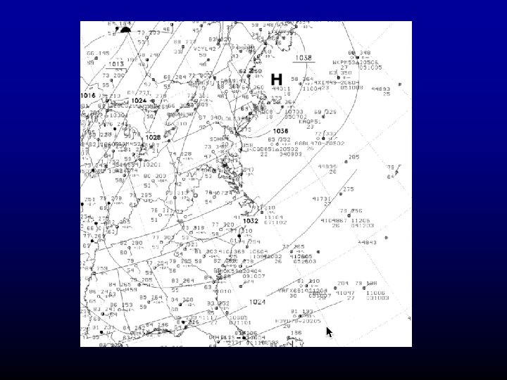
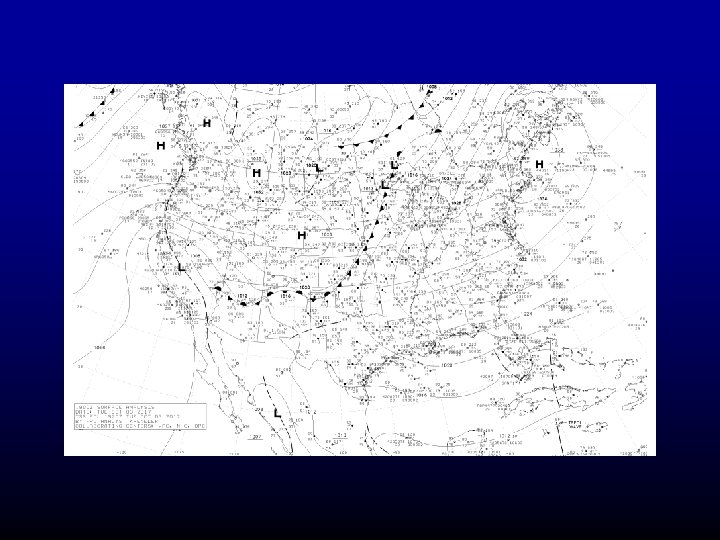
 What is on surface charts?
 Surface Observations are plotted using the station model
 Station Model
 Practice
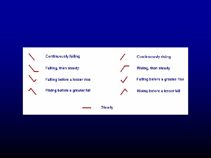
 Pressure Change over the Past 3 hr
 Current Weather
 Sky Coverage
 Sky Obscured…you are in cloud
 Wind Pennants
 Wind Speed
 You need to be able to read the station models
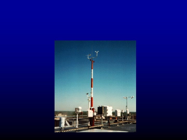
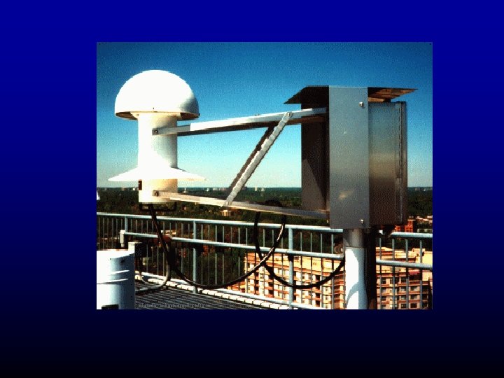
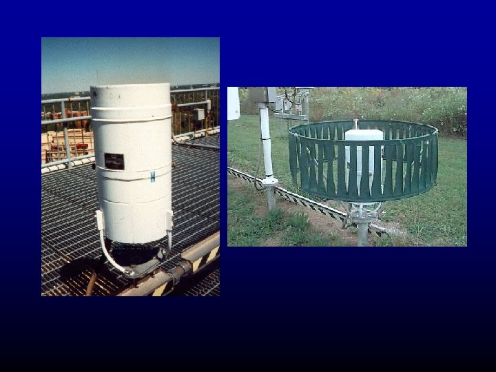
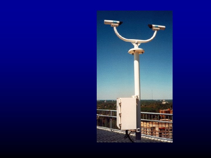
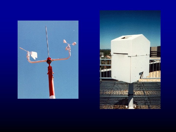
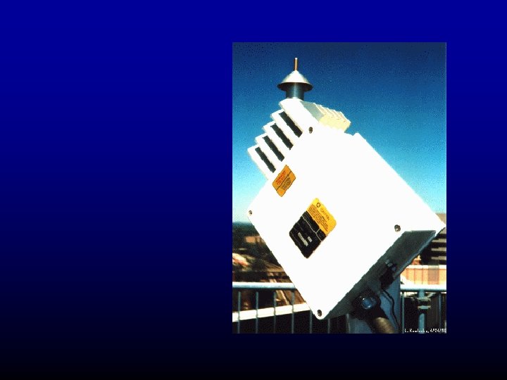
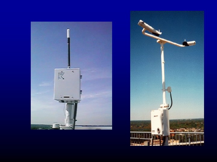
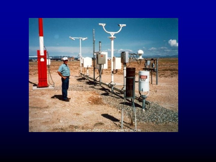
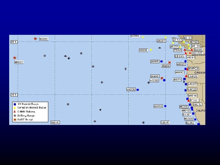
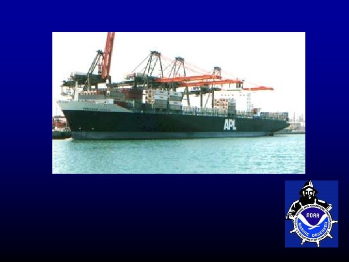
 What kind of observations are plotted on surface charts?

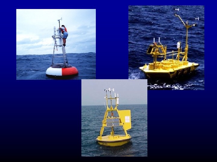
 Drifting Buoys
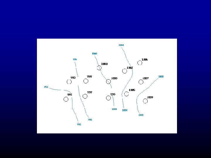
 Isobars of sea level pressure are found on station map
 Why use sea level pressure rather than station pressure— the pressure at the elevation of the barometer?
 Terrain effects on pressure would swamp the meteorological signal
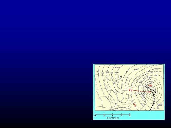
 Example of Pressure Reduction
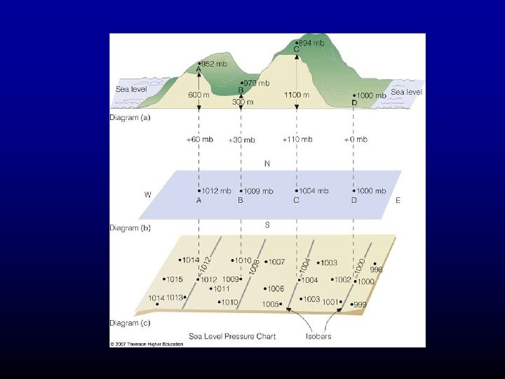
 Pressure Reduction
 Once the analysis is done, put on H’s and L’s
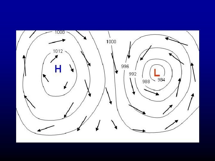
 Winds and pressure
 Will explain why in a few weeks
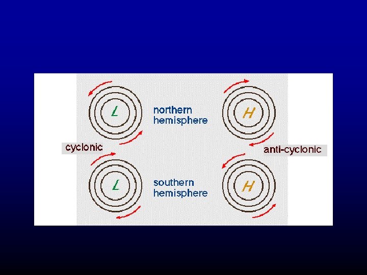
 In the northern hemisphere winds tend to blow countclockwise around lows and clockwise around highs (opposite in the southern hemisphere)
 Other features on surface charts
 What are fronts?
 Definition A front is a boundary between air of relatively uniform warm air and a zone in which temperatures cools rapidly

 Four Main Types of Fronts
 Warm Front
 Stationary Fronts
") Occluded Front (a hybrid)
Occluded Front (a hybrid)
