8-A_Pityuhina_Ukraine.pptx
- Количество слайдов: 16
 Ukraine NVK DOLINSKA GIMNASIUM № 3 FROM 8 -A TEACHER: SHEREMET T. V. PITYUHINA ELVIRA 2015 -2016
 Vocabulary Ores
 Ores
Ores
 Interior of the continent
 35000 30000 25000 20000 Вчені 15000 Пенсія 10000 Уряд 5000 0 2012 2013 2014 2015 2016 Dec reas es

 The Geographical Position of Ukraine
 The area of Ukraine is more than 603, 000 sq km. The most part of its area is flat. The mountains in Ukraine cover only 5 per cent its territory. There are the Crimean Mountains in the south and the Carpathians in the west. Goverla is the highest peak of the Ukrainian Carpathians. It is 2, 061 metres high.
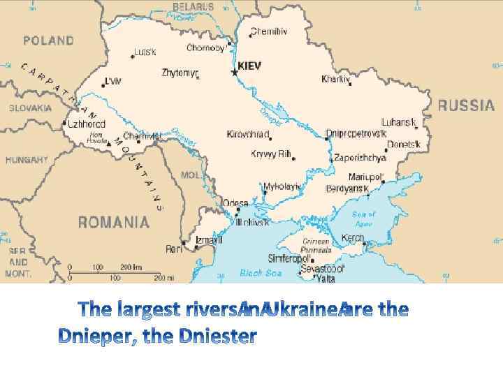
 The nature of Ukraine is especially beautiful due to a number of rivers and lakes. There are 131 rivers in Ukraine. The longest rivers are the Dniester, the Donets, the Bug. The Dnieper is the main river in Ukraine. It divides the country into Right-bank and Left-bank areas.
 There are more than three hundred cities and towns in Ukraine. The biggest of them are the industrial centres such as Kharkiv, Donetsk, Dniepropetrovsk, Lviv. Odessa, Mikolayiv, Kherson, Kerch are the most important ports of Ukraine.

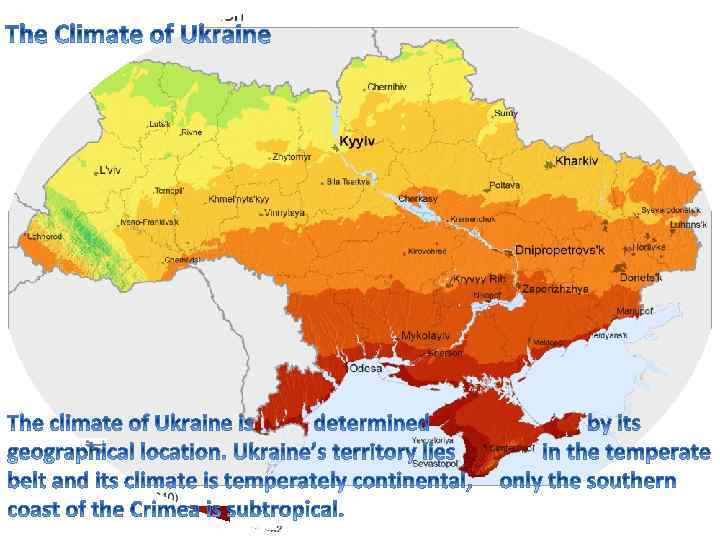
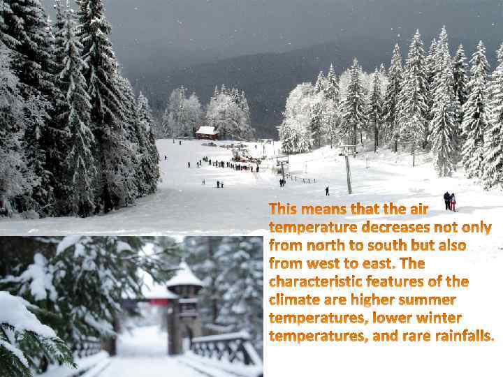
 The average yearly temperature in Ukraine varies between +5. . +7 C in the north and +11. . +13 C in the south. January is the coldest month and July is the hottest one.