e2e4882a8ba50275643d77731deaeb2e.ppt
- Количество слайдов: 19
 Some my. Society GIS thoughts Chris Lightfoot Matthew Somerville
 my. Society builds websites which give people simple, tangible benefits in the civic and community aspects of their lives
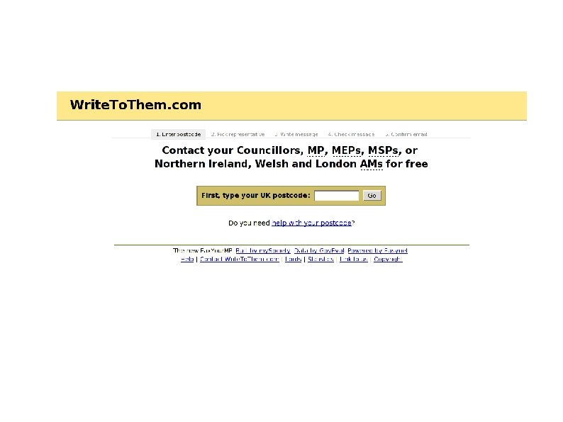

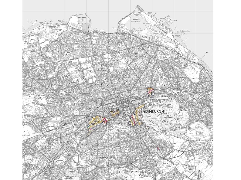
 Putting people in touch with their elected representatives ● ● MPs, councillors etc. elected on geographic boundaries Lookup of location to electoral geographies, via postcode You can buy a data set that claims to do this, but it doesn’t Instead need to get digitised boundaries of electoral geographies and intersect postcode coordinates with them
 ● Even that is oversimplifying") Putting people in touch with their elected representatives (2) ● Even that is oversimplifying ● Data availability. . .
Putting people in touch with their elected representatives (2) ● Even that is oversimplifying ● Data availability. . .
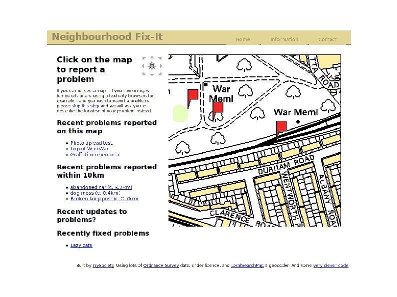
 A global gazetteer ● ● ● Originally built for Pledge. Bank, but useful elsewhere Application is locating people without requiring them to click maps or otherwise supply coordinates Original data set is GEONet Names Server, compiled by the US military for their own purposes – “Why are there so many names for places in Russia? ” – Plus USGS’s database of US place names
 First application of this was for Pledge. Bank") A global gazetteer ● ● (2) First application of this was for Pledge. Bank Want to be able to create local alerts: “email me when a pledge is created near me” We got a lot of whinging email from Londoners complaining that we’d sent them mail about a pledge that was ten miles away Solution: change definition of proximity – People in cities think about places a mile away being “nearby” – In rural areas they might think of the nearest town being “nearby” – etc.
A global gazetteer ● ● (2) First application of this was for Pledge. Bank Want to be able to create local alerts: “email me when a pledge is created near me” We got a lot of whinging email from Londoners complaining that we’d sent them mail about a pledge that was ten miles away Solution: change definition of proximity – People in cities think about places a mile away being “nearby” – In rural areas they might think of the nearest town being “nearby” – etc.
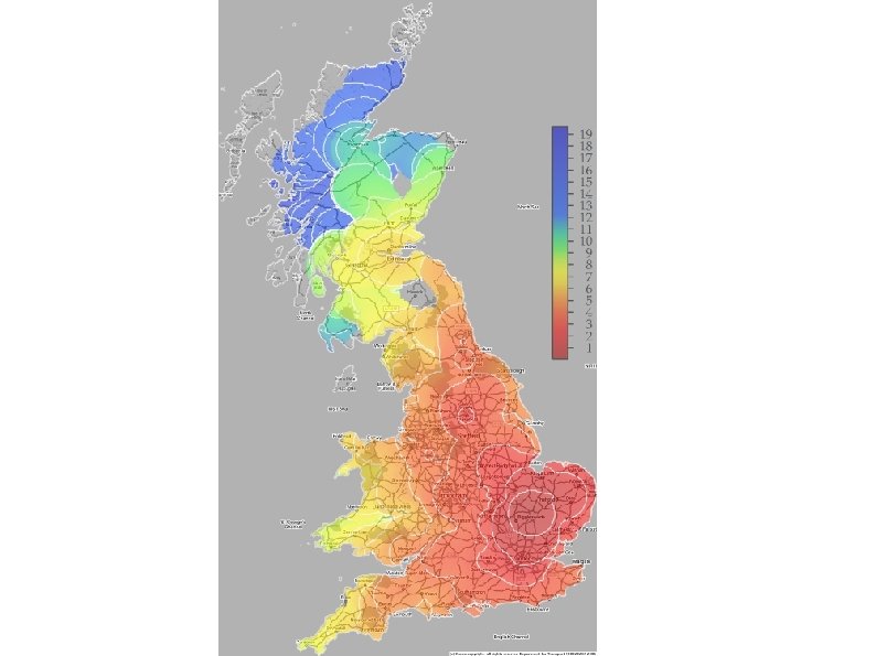
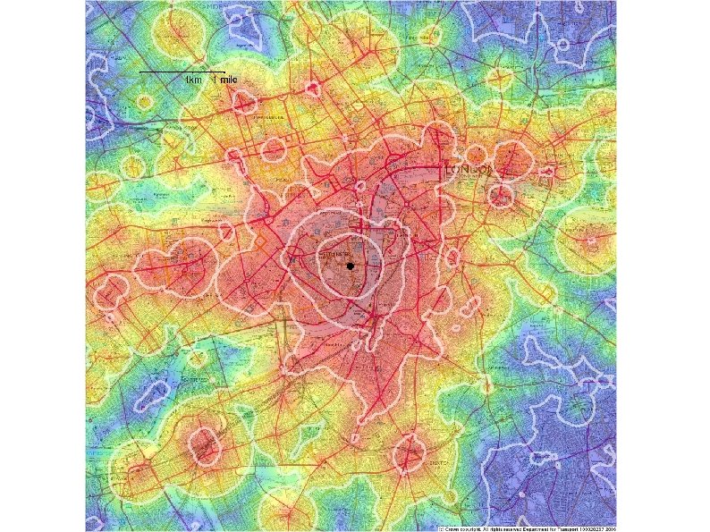
 Customary proximity ● ● Idea is to use population density to compute threshold distance In practice “within a radius containing about 200, 000 people” seems to be a reasonable definition of “nearby”
 Examples Islington, London 2. 7 km central Cambridge 15 km mid-Wales 38 km Central Park, Manhattan, NY 1. 8 km
 Where does the data come from? ● Two global population data sets: – Gridded Population of the World Columbia University ● ● Based on census returns ● – Free, more-or-less Good in developed countries, less good elsewhere Land. Scan Oak Ridge National Laboratory ● ● ● Stupid licence fees Incorporates, inter alia, regressions against night-time light density to infer population distribution within censal units Higher resolution than GPW
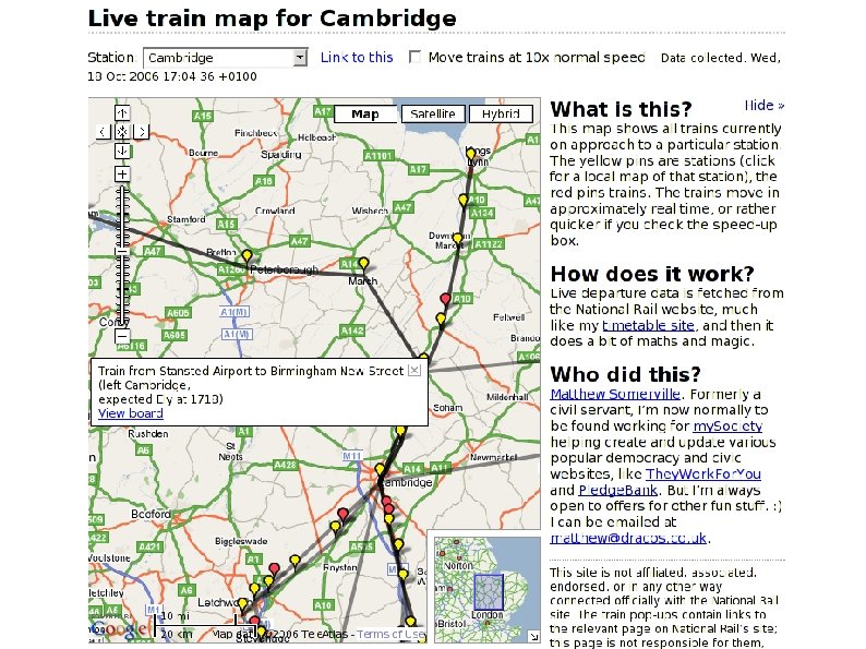
 A couple of “classic” Google Maps mash-ups
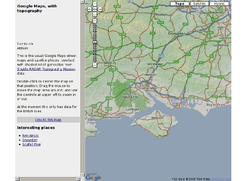
 And a couple of others which aren’t actually my. Society projects but may be of interest here