

bfe7a3d8e33850233141c5727941587a.ppt
- Количество слайдов: 21
 Remote Sensing Software Comparison Stephanie Snider Indiana University Information Technology Services
 Software n Global Mapper by USGS n IDRISI by Clark Labs n ESRI Extensions – Image Analysis by Leica Geosystems – Stereo Analyst by Leica Geosystems – Feature Analyst by Visual Learning Systems – LIDAR Analyst by Visual Learning Systems n ERDAS IMAGINE by Leica Geosystems
 Comparing n Cost n Operating Systems Supported n Training n Technical Support n Licensing n Software Functionality / Benefits n Software Limitations / Disadvantages
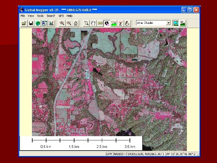
 Global Mapper 8 Cost: $279 n Operating Systems: n – Windows – Macintosh using Virtual. PC n Training: Online user manual and brief tutorial n Tech Support: Yahoo User group n Licensing: Stand-alone and trail version
 Global Mapper 8 n Software Functionality – line of sight and view shed analysis, digitizer, GPS tracking features, generate contours, image rectification and re-projection, accepts many data formats. n Software Limitations – Does not do classification, change detection, mosaicing or ortho rectification – Print and layout options are very limited – Not for advanced RS users n Highlight: Easy to Use; Inexpensive
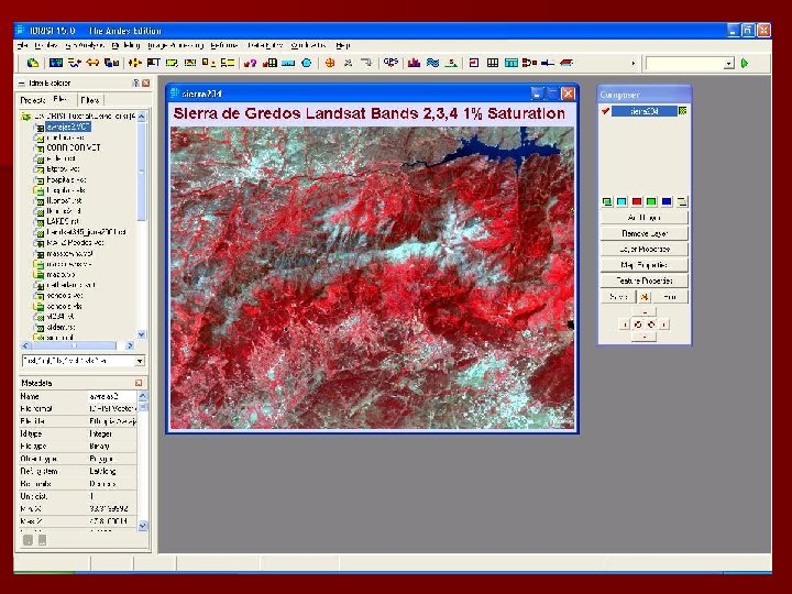
 IDRISI 15. 0 The Andes Edition n Cost $1500 n Operating Systems: DOS and Windows n Training: Online user manual (Spanish); detailed tutorial with exercise files n Technical Support: Additional purchase $295 n Licensing: stand-alone, multi-seat and student version
 IDRISI 15. 0 The Andes Edition n Software Functionality – land cover change detection – import/export wide range of formats – ESRI converter n Software Limitations – Interface is not intuitive – convert data to (IDRISI format) – campus licensing n Highlight: Great price for features
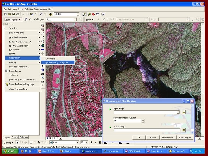
 ESRI Extensions n Leica Geosystems – Image Analysis - Orthorectify, mosaic, color balance, classification, change detection, NDVI, image enhancement – Stereo Analyst - 2 D data to 3 D n Visual Learning Systems – Feature Analyst - Automated feature extraction for imagery – LIDAR Analyst - Automated extraction with attributes for LIDAR data
 ESRI Extensions Image Analysis and Stereo Analyst n Cost $3500; plus Arc. GIS Arc. View $1500 n Operating System: Windows n Training: ESRI Quick Start Tutorials; instructor-led classes from Leica; tutorials for purchase n Tech Support: Arc. GIS Desktop Help; ESRI and Leica Online Support; PDF Users Guide
 Image Analysis and Stereo Analyst n Software Functionality: change detection, classification, image enhancement, spectral analysis n Software Limitations: Not as many options available as ERDAS IMAGINE n Highlight: Works inside Arc. GIS
 Arc. GIS ERDAS IMAGINE
 ESRI Extensions Feature Analyst and LIDAR Analyst n Cost $2500 up to $10, 000; Arc. GIS Arc. View $1500 n Operating System: Windows n Training: extension tutorial; online tutorials; instructor-led classes n Tech Support: Software Reference Manual; email and online support VLS n Licensing: multi-seat; trial version
 Feature Analyst and LIDAR Analyst n Software Functionality: automatics feature extraction, editing tools for post processing feature data, DEM modification n Software Limitation: expensive n Highlight: Works inside Arc. GIS
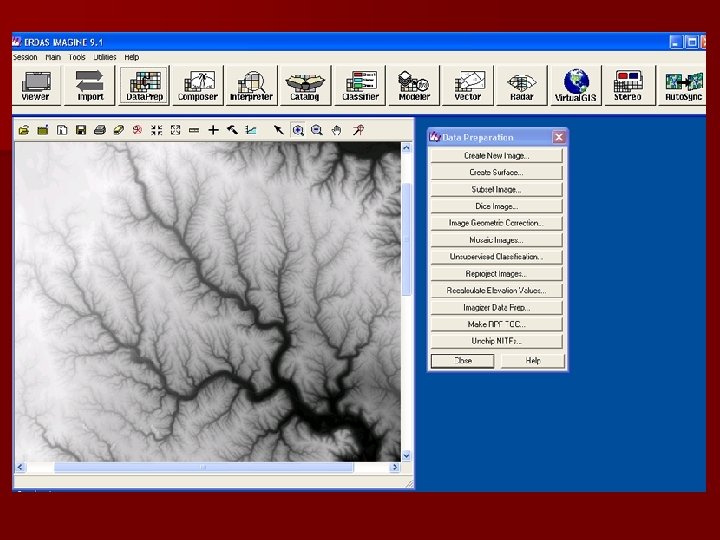
 ERDAS IMAGINE 9. 1 Cost n n n IMAGINE Essentials - $2, 200 IMAGINE Advantage - $4, 400 IMAGINE Professional - $7, 700 n Leica Photogrammetry Suite Core - $10, 500 – – – – IMAGINE Virtual. GIS - $3, 300 Stereo Analyst for IMAGINE - $3, 300 IMAGINE Vector - $3, 300 IMAGINE Auto. Sync - $3, 500 IMAGINE Easy. Trace - $2, 500 IMAGINE Delta. Cue - $5, 500 Leica Mosaic. Pro - $3, 000 – LPS Stereo $4, 000 – LPS Automatic Terrain Extraction - $5, 500 – LPS Terrain Editor - $4, 000
 ERDAS IMAGINE 9. 1 n Operating Systems: Windows and UNIX n Training: Instructor-led by Leica; tutorials available for purchase n Technical Support: 750 page User Guide, online support for customers n Licensing: stand-alone and multi-seat
,") ERDAS IMAGINE 9. 1 n Software Functionality – graphical data modeling, advanced classification (multispectral), radar analysis, spectral and hyperspectral analysis; sub-pixel analysis n Software Limitations – system resources, add -on models are additional cost n Highlight: Advanced Image Processing
ERDAS IMAGINE 9. 1 n Software Functionality – graphical data modeling, advanced classification (multispectral), radar analysis, spectral and hyperspectral analysis; sub-pixel analysis n Software Limitations – system resources, add -on models are additional cost n Highlight: Advanced Image Processing
 For more information n Global Mapper – http: //www. globalmapper. com n IDRISI – http: //www. clarklabs. org n ESRI – http: //www. esri. com n Leica Geosystems – http: //gi. leica-geosystems. com n Visual Learning Systems – http: //www. vls-inc. com