25ead423e66481141b48442e67fbd7f7.ppt
- Количество слайдов: 17


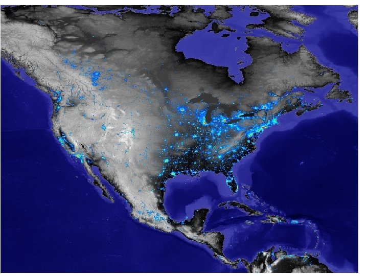
Remote Sensing of Urban Landscape Lecture 11 November 10, 2004

Urban remote sensing users o o o o o Zoning regulation Commerce and economic development Tax assessor Transportation and utilities Parks, recreation, and tourism Emergency management Real Estate Developers Water systems

Example: stages of development

Sun City – Hilton Head 1994 1996

1974 1, 040 urban hectares 1994 3, 263 urban hectares 315% increase

Urban/Suburban Attributes and the Minimum Remote Sensing Resolutions Required to Provide Such Information

Land Use /Land Cover Relationship between sensor system spatial resolution and land use/land cover class L 1 - USGS Level I L 2 - USGS Level II L 3 - USGS Level III L 4 - USGS Level IV Temporal Resolution 5 - 10 years 3 - 5 years 1 - 3 years Spatial Resolution 20 - 100 m 5 - 15 m 1 - 5 m 0. 3 - 1 m
 Infrastructure Derived from 0. 3 x 0. 3 m")
Building and Cadastral (Property Line) Infrastructure Derived from 0. 3 x 0. 3 m (1 x 1 ft. ) spatial resolution stereoscopic, panchromatic aerial photography Temporal Spatial Resolution B 1 - building perimeter, area, volume, height 1 - 2 years 0. 3 - 0. 5 m B 2 - cadastral mapping (property lines) 1 - 6 mo 0. 3 - 0. 5 m

Transportation Infrastructure Irmo, S. C. TIGER road network updated using SPOT 10 x 10 m data Bridge assessment using high resolution oblique photography Parking/traffic studies require high spatial/temporal resolution Temporal Spatial Resolution T 1 - general road centerline 1 - 5 years 1 - 10 m T 2 - precise road width 1 - 2 years 0. 3 - 0. 5 m T 3 - traffic count studies (cars, planes etc. ) 5 - 10 min 0. 3 - 0. 5 m T 4 - parking studies 10 - 60 min 0. 3 - 0. 5 m
. Utility companies often digitize the location")
Utility Infrastructure West Berlin, Germany (1: 3, 000). Utility companies often digitize the location of every pole, manhole, transmission line and the facilities associated with each. U 1 - general utility centerline U 2 - precise utility line width U 3 - locate poles, manholes, substations Temporal Resolution 1 - 5 years 1 - 2 years Spatial Resolution 1 -2 m 0. 3 - 0. 6 m

Digital Elevation Model Creation Urban DEMs are usually created from high spatial resolution data. The DEM and orthophoto of Columbia, SC were produced from 1: 6, 000 stereoscopic photography using soft-copy photogrammetric techniques.

Critical Environmental Area Assessment Sun City, S. C. Digitized NAPP Jan. 22, 1994 2. 5 x 2. 5 m (0. 7 - 0. 9 mm) CAMS Band 6 Sept. 23, 1996 2. 5 x 2. 5 m (0. 7 - 0. 69 mm) C 1 - stable sensitive environments C 2 - dynamic sensitive environments Temporal Resolution 1 - 2 years 1 - 6 months Spatial Resolution 1 - 10 m 0. 5 - 5 m

Meteorological Data GOES East image of Hurricane Hugo 2: 44 p. m. EDT Sept. 21, 1989 M 1 - daily weather prediction M 2 - current temperature M 3 - current precipitation M 4 - immediate severe storm warning M 5 - monitoring urban heat islands Temporal Spatial Resolution 30 min - 12 hr 1 - 8 km 30 min - 1 hr 1 - 8 km 10 min - 30 min 4 x 4 km 5 min - 10 min 4 x 4 km 12 - 24 hr 5 x 10 m

Remote sensing quality of living indicators Quality of living indicators such as house value, median family income, average number of rooms, average rent, education, and income can be estimated by extracting the following variables from high spatial resolution panchromatic and/or color imagery (Lindgren, 1985; Lo, 1986; 1995; Haack et al. , 1997): • • building size (sq. ft. ) • lot size (acreage) existence of a pool (sq. ft. ) • vacant lots per city block frontage (sq. ft. ) • distance house is set-back from street existence of driveways • existence of garages number of autos visible • paved streets (%) street width (ft. ) health of the landscaping (vegetation index signature) proximity to manufacturing and/or retail activity.

Remote sensing assisted population estimation o Population estimation can be performed at the local, regional, and national level based on (Lo, 1995; Haack et al. , 1997): n n n counts of individual dwelling units, measurement of land areas, land use classification, imagery must be of sufficient spatial resolution (0. 3 - 5 m) to identify individual structures even through tree cover and whether they are residential, commercial, or industrial buildings; some estimate of the average number of persons per dwelling unit must be available, and it is assumed all dwelling units are occupied.

Automatic building counts
25ead423e66481141b48442e67fbd7f7.ppt