 Met Office forecasting methods for fog and low cloud B. Golding Head of Forecasting Research Met Office, UK 00/XXXX 1
 Outline n n Nowcast system n Manual techniques n 2 Site-specific model n 00/XXXX NWP Plans
 Unified Model NWP n UK mesoscale model – ~12. 5 km grid, 38 levels – v 5 (June 2002): non-hydrostatic, semi-implicit, semi -Lagrangian – conserved thermodynamic variables, two phase cloud, CAPE closure convection – predicted aerosol – visibility recently upgraded to allow for rain and snow as well as cloud water – verification shows skill limited to large scale fog events 00/XXXX 3
 SSFM n Single column UM with 70 levels n Uses local upwind topography/land use n n 00/XXXX 4 Verification shows skill limited by lack of local data input Used as input trial product generation in Auto. TAF and Autotext
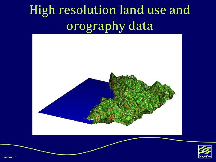 High resolution land use and orography data 00/XXXX 5
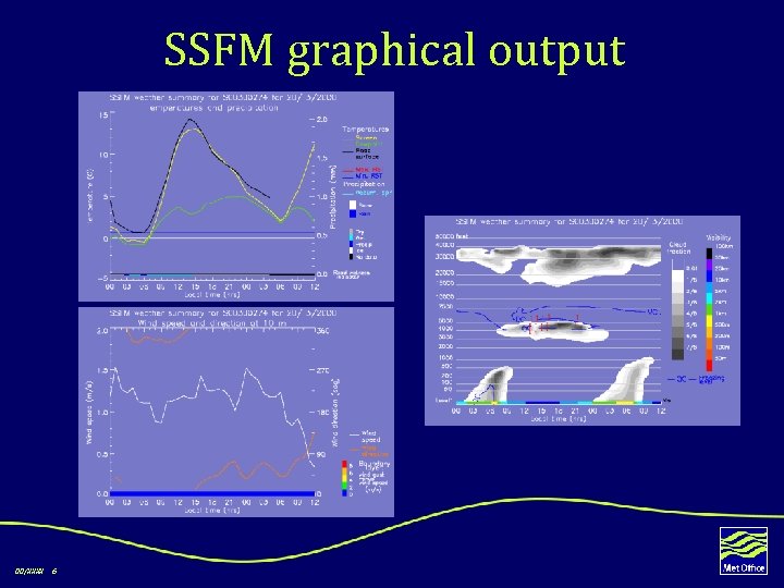 SSFM graphical output 00/XXXX 6
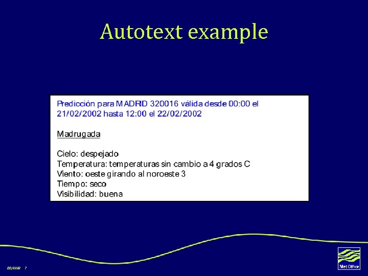 Autotext example 00/XXXX 7
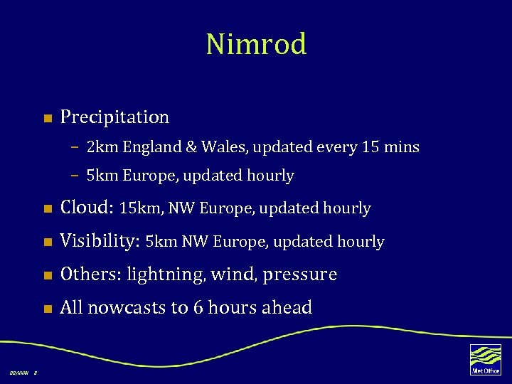 Nimrod n Precipitation – 2 km England & Wales, updated every 15 mins – 5 km Europe, updated hourly n n Others: lightning, wind, pressure n 8 Visibility: 5 km NW Europe, updated hourly n 00/XXXX Cloud: 15 km, NW Europe, updated hourly All nowcasts to 6 hours ahead
 Nimrod - Cloud – 15 km grid, 29 horizontal levels – analysis uses METEOSAT imagery and surface observations with forecast first guess – precipitating cloud moved with precipitation vectors – non-precipitating cloud moved with model layer wind – merged with mesoscale model cloud forecast 00/XXXX 9
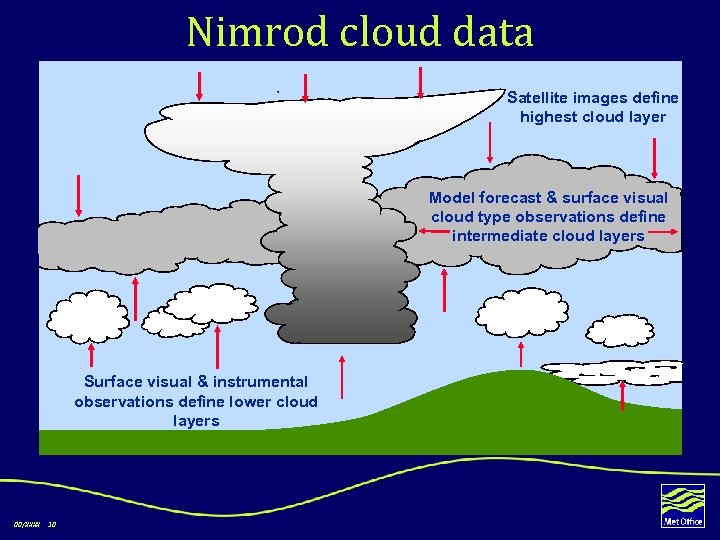 Nimrod cloud data Satellite images define highest cloud layer Model forecast & surface visual cloud type observations define intermediate cloud layers Surface visual & instrumental observations define lower cloud layers 00/XXXX 10
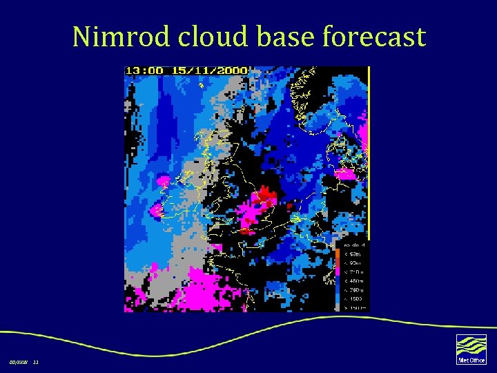 Nimrod cloud base forecast 00/XXXX 11
 Nimrod - visibility n n 5 km grid; liquid water temperature and total water variables analysis based on METEOSAT / AVHRR imagery and surface observations n n hill fog added from cloud forecast n 12 merged with mesoscale model forecast n 00/XXXX nowcast is persistence used as input to Time & Place product
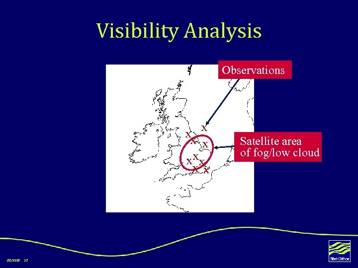 Visibility Analysis Observations x x xx x x 00/XXXX 13 Satellite area of fog/low cloud
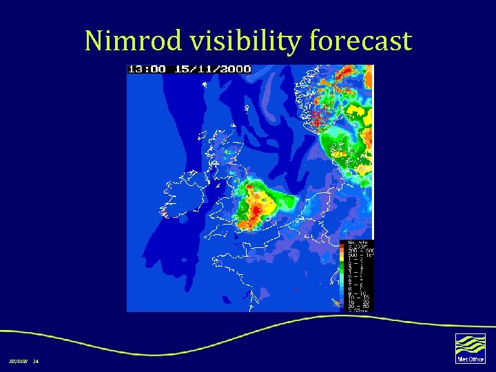 Nimrod visibility forecast 00/XXXX 14
 Manual techniques n n n 00/XXXX 15 Saunders or Craddock & Prichard used to forecast fog point, and hence fog formation with a cooling curve Jefferson or Barthrum used to predict fog clearance temperature, and hence fog clearance with a warming curve Both temperatures better predicted by SSFM Problem is with cooling/warming curve shape, especially in presence of cloud Local experience can be a major benefit
 Summary n Guidance provided by NWP, SSFM, Nimrod n Experimental automated services on trial n Manual forecast techniques unhelpful n 00/XXXX 16 High impact forecasts (e. g. TAFs) require human experience and judgement
 Plans n MSG – fog product, cloud mask, cloud top height – Improved analysis – Extrapolation of temporal trends – Fog simulation studies with RTTOV n 00/XXXX 17 High resolution NWP