

20d65a0e7669ea99f744368480591c37.ppt
- Количество слайдов: 37
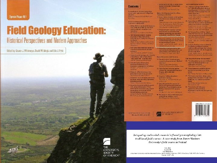
 INTEGRATING STUDENT-LED RESEARCH IN ENVIRONMENTAL GEOLOGY INTO TRADITIONAL FIELD COURSES: A CASE STUDY FROM JAMES MADISON UNIVERSITY'S FIELD COURSE IN IRELAND Eaton, L. S. , May, C. L. , and Whitmeyer, S. J.
 JMU Field Course 1978 – 2003 Shenandoah Valley of Virginia Five Week Course • Plane Table Alidade • Mapping projects in Carbonates, Meta. Sediments, Meta. Volcanics, Gneisses
 JMU Field Course 2004 – 2005 northern NM & southern CO North Carolina – Virginia System Wide Field Course
 JMU Field Course 2006 – 2010
 JMU Field Course 2006 – 2010
 Framework for 2009 & 2010 “Self Selecting” of Students
 Environmental Geology/Hydro Track Week 5: Surface Hydrology and Hypothesis Testing Headwaters of Carrownisky River
 Student-Led Research in Environmental Geology Goals: • Develop a ‘research experience’ for students • Provide hands-on discovery into the scientific method and group problem solving • Encourage field-based formulation and testing of hypotheses • Provide insight into foundational concepts in applied geology and skills in measurement techniques
 • Three page ‘executive summary’ of findings") Products: • GSA-style presentation (poster or oral) • Three page ‘executive summary’ of findings
Products: • GSA-style presentation (poster or oral) • Three page ‘executive summary’ of findings
 Daily Structure of the JMU Field Course Environmental Science Research Project Day 1: Overview of the field area and development of broad research questions. Day 2: Demonstration of key concept in fluvial geomorphology by the faculty mentor. Preliminary observations made by the students, which they use to refine research questions and develop specific hypotheses. Evening: Quality Control/Assurance of data; meet with groups to assess progress.
 Daily Structure of the JMU Field Course Environmental Science Research Project Day 3: Field sampling. Evening: Quality Control/Assurance of data; meet with groups to access progress. Day 4: Field sampling (morning); data analysis and synthesis (afternoon); presentations and discussion session (evening).
 An example from 2007… Day 1 - explore the field area & discuss fundamental concepts Carrownisky River
 Structure of the Hypothesis If, then, because… If facilitates recognition of the underlying assumption of the hypothesis. Then is the actual statement of the testable hypothesis and indicates how two variables are related. Because provides a causal mechanism.
 An Example… If scientists are really enthusiastic about field camp curriculum, then they will attend this meeting instead of going fishing, because the speakers here today have more to offer than a Yellowstone cutthroat…
 An Example… Attendance If scientists are really enthusiastic about field camp curriculum, then they will attend this meeting instead of going fishing, because the speakers here today have more to offer than a Yellowstone cutthroat… Interest in Field Camps
 Day 2… refine hypotheses and develop sampling methods
 Contrary to what we expected…
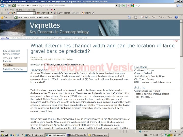
 Fundamental & Currently Unresolved Question in Geomorphology 1. What controls channel width?
 Fundamental & Currently Unresolved Question in Geomorphology 1. What controls channel width? If cohesive sediments limit bank erosion, then bank cohesion should be a primary determinant of channel width, because channels can easily erode non-cohesive sediment and expand laterally.
 Fundamental & Currently Unresolved Question in Geomorphology 1. What controls channel width? Channel width If cohesive sediments limit bank erosion, then bank cohesion should be a primary determinant of channel width, because channels can easily erode non-cohesive sediment and expand laterally. Bank cohesion
 Data analysis (evening)") Field Sampling Days 3 - 4 Data collection (daytime) Data analysis (evening)
Field Sampling Days 3 - 4 Data collection (daytime) Data analysis (evening)
 Simple observations & methods led to interesting insights…. Channels were narrow and deeply incised where the streambanks were composed of cohesive sediment.
 Channels were wide and shallow where the streambanks were composed of noncohesive sediment.
 Here is the data… Cohesive Mixed Non-Cohesive Bank Material
 Question 2 Can the location of large gravel bars be predicted?
 straight channel (180º)") tight bend (90º) straight channel (180º)
tight bend (90º) straight channel (180º)
 Results Students were able to use basic observations and simple field methods to answer two fundamental questions that discovered new insights into river processes… 1. What determines channel width? 2. Can the location of large gravel bars be predicted?
 Question 1: How do") Examples of Hypotheses Tested in 2010 (building upon previous knowledge) Question 1: How do anthropogenic and natural processes shape present-day river channels? Question 2: Does the Carrownisky River follow typical patterns of downstream fining? Question 3: What are the control(s) of the spacing of the pools and riffles?
Examples of Hypotheses Tested in 2010 (building upon previous knowledge) Question 1: How do anthropogenic and natural processes shape present-day river channels? Question 2: Does the Carrownisky River follow typical patterns of downstream fining? Question 3: What are the control(s) of the spacing of the pools and riffles?
 Week 6: Karst Groundwater Hydrology and Geochemistry The. Burrenwestern Ireland ,
 Examination of Water Budget and Change in Water Chemistry Subsurface Distance of Flow ~ 2 km “sinks” Emerging spring Mass In = Mass Out + Change in Storage
 Benefits of the Two-Track System • • Provides variety in the program Target individual student interests Application of skill and knowledge set gained in weeks 1 -4 Grading is ‘end loaded’ – Encourages consistent work and tenacity – Minimizes the ‘week 6’ let down • Marketing tool • Employment aspects • “Buy in” among the faculty of the worthiness of Field Course
 One Day Excursion: Landslide Mapping and Evaluation Four Days: Surface Hydrology & Hypothesis Testing
 ENVIRONMENTAL/HYDROLOGY OR SEDIMENTARY SYSTEMS EXERCISES 2009 1 My prior knowledge of this material was 2 3 4 5 Nonexistent Very little Moderate Considerable Extensive Great discomfort Slightly apprehensive Neutral At-ease and comfortable Highly motivated Completely unskilled Basic Competent Skilled Expert Nonexistent Very little Moderate Considerable Extensive Great discomfort Slightly apprehensive Neutral At-ease and comfortable Highly motivated 4. 42 Not valuable at all Only slightly valuable Moderately valuable Useful Essential 3. 81 Completely unskilled Basic Competent Skilled Highly skilled 3. 12 My prior feelings specific to this exercise were 3. 92 My prior skill level with this exercise was 3. 00 My knowledge gains from this exercise were 4. 27 My feelings after this exercise were 4. 50 I found this exercise to be: My skill level after this exercise was My overall learning from this exercise was 4. 46