f356e03db91eac3317555391a352c777.ppt
- Количество слайдов: 25
Improving Communication and Situational Awareness: Available tools for NWS operations DEREK DEROCHE NOAA / NWS, Weather Forecast Office, Pleasant Hill, Missouri SUZANNE FORTIN, JULIE ADOLPHSON, ANDY BAILEY NOAA / NWS, Weather Forecast Office, Pleasant Hill, Missouri SCOTT BLAIR NOAA / NWS, Weather Forecast Office, Topeka, Kansas 13 th Annual High Plains Conference North Platte, NE
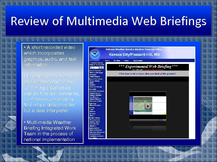
Review of Multimedia Web Briefings • A short recorded video which incorporates graphics, audio, and text information • Enables forecasters to explain the “why” of the upcoming situation as well as forecast concerns, confidence, uncertainty. Not only a data provider but a data interpreter • Multi-media Weather Briefing Integrated Work Team in the process of national implementation
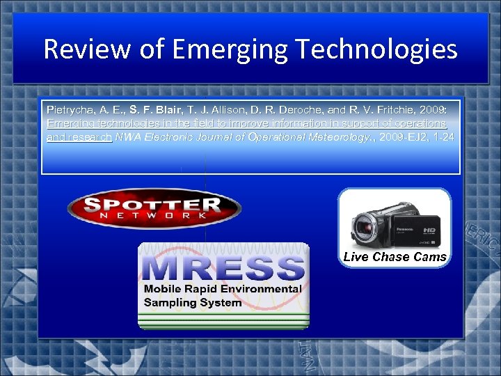
Review of Emerging Technologies Pietrycha, A. E. , S. F. Blair, T. J. Allison, D. R. Deroche, and R. V. Fritchie, 2009: Emerging technologies in the field to improve information in support of operations and research NWA Electronic Journal of Operational Meteorology. , 2009 -EJ 2, 1 -24 Live Chase Cams
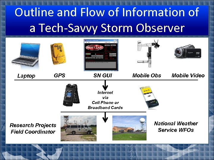
Outline and Flow of Information of a Tech-Savvy Storm Observer Laptop GPS SN GUI Mobile Obs Mobile Video Internet via Cell Phone or Broadband Cards Research Projects Field Coordinator National Weather Service WFOs
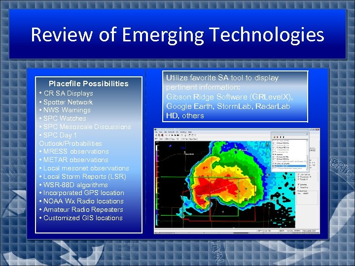
Review of Emerging Technologies Placefile Possibilities • CR SA Displays • Spotter Network • NWS Warnings • SPC Watches • SPC Mesoscale Discussions • SPC Day 1 Outlook/Probabilities • MRESS observations • METAR observations • Local mesonet observations • Local Storm Reports (LSR) • WSR-88 D algorithms • Incorporated GPS location • NOAA Wx Radio locations • Amateur Radio Repeaters • Customized GIS locations Utilize favorite SA tool to display pertinent information: Gibson Ridge Software (GRLevel. X), Google Earth, Storm. Lab, Radar. Lab HD, others

Improving Office SA
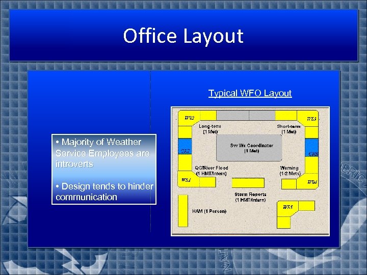
Office Layout Typical WFO Layout • Majority of Weather Service Employees are introverts • Design tends to hinder communication
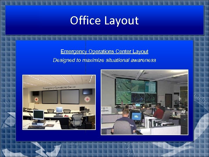
Office Layout Emergency Operations Center Layout Designed to maximize situational awareness O
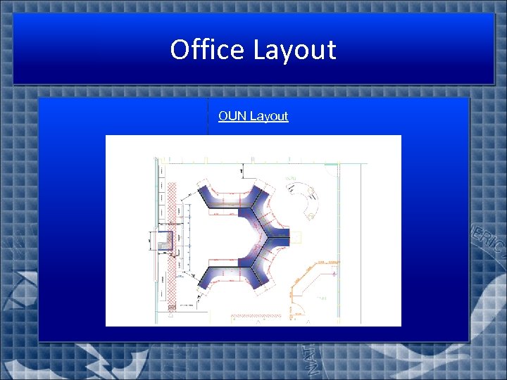
Office Layout OUN Layout
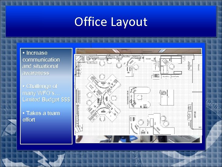
Office Layout • Increase communication and situational awareness • Challenge of many WFO’s… Limited Budget $$$ • Takes a team effort

Real-time SA Tools
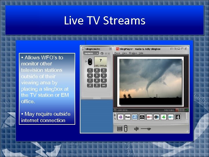
Live TV Streams • Allows WFO’s to monitor other television stations outside of their viewing area by placing a slingbox at the TV station or EM office. • May require outside internet connection
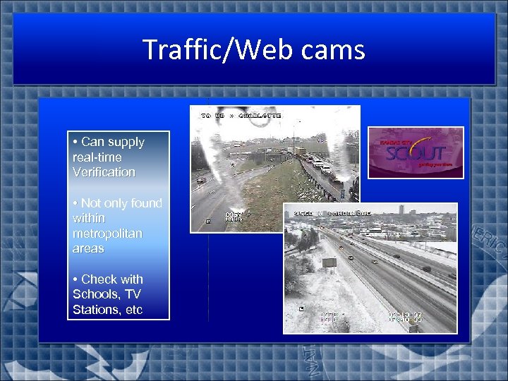
Traffic/Web cams • Can supply real-time Verification • Not only found within metropolitan areas • Check with Schools, TV Stations, etc
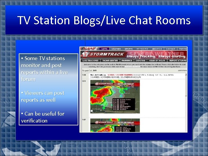
TV Station Blogs/Live Chat Rooms • Some TV stations monitor and post reports within a live forum • Viewers can post reports as well • Can be useful for verification

Post Storm Tools
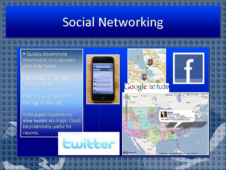
Social Networking • Quickly disseminate information to customers with little hassle • Reach newer, potentially larger audience • Upload waypoints from damage survey app • Utilize geo-locations to view tweets via maps. Could be potentially useful for reports.
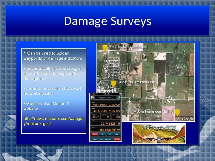
Damage Surveys • Can be used to upload waypoints of damage indicators • Automatically creates Google map with track damage and descriptors • Email or auto upload to social networking sites. • Mentioned on Motion X website http: //news. motionx. com/categor y/motionx-gps/
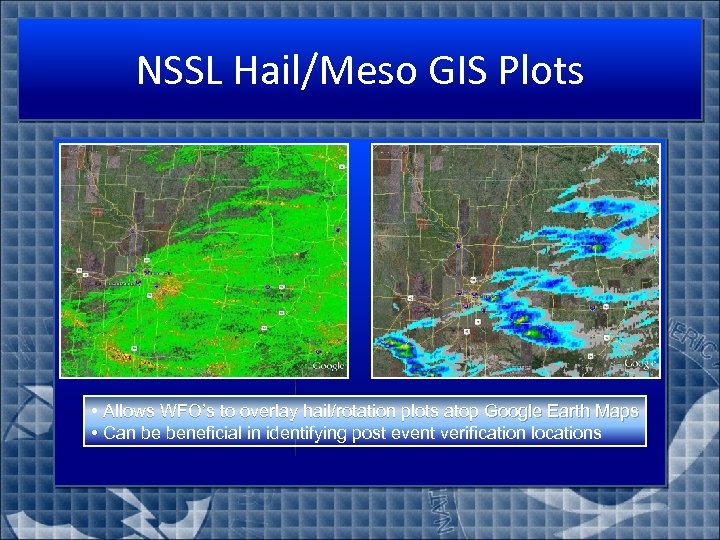
NSSL Hail/Meso GIS Plots • Allows WFO’s to overlay hail/rotation plots atop Google Earth Maps • Can be beneficial in identifying post event verification locations
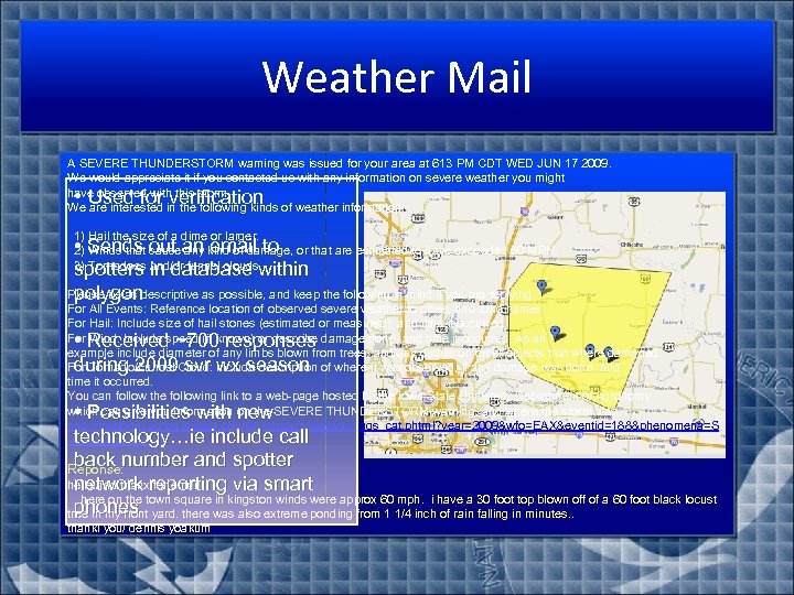
Weather Mail A SEVERE THUNDERSTORM warning was issued for your area at 613 PM CDT WED JUN 17 2009. We would appreciate it if you contacted us with any information on severe weather you might have observed with this storm. We are interested in the following kinds of weather information: • Used for verification 1) Hail the size of a dime or larger. 2) Winds that cause any kind of damage, or that are estimated to have exceeded 60 MPH. 3) Tornadoes and/or funnel clouds. • Sends out an email to spotters in database within Please be as descriptive as possible, and keep the following in mind if you are replying. . . polygon For All Events: Reference location of observed severe weather to cities, and road names. For Hail: Include size of hail stones (estimated or measured), and time it occurred. For Wind: Include speed (if known) or describe damage done, and time it occurred. As an example include diameter of any limbs blown from trees, and any details on other objects that where damaged. For Tornado/Funnel Cloud: Include description of where it was observed, if any damage was done, and time it occurred. You can follow the following link to a web-page hosted by the Iowa State University Department of Agronomy which can give you information on the SEVERE THUNDERSTORM warning, and where the storm was. http: //mesonet. agron. iastate. edu/GIS/apps/rview/warnings_cat. phtml? year=2009&wfo=EAX&eventid=188&phenomena=S V&significance=W • Received ~700 responses during 2009 svr wx season • Possibilities with new technology…ie include call back number and spotter Reponse: hello and thanx for email network reporting via smart here on the town square in kingston winds were approx 60 mph. i have a 30 foot top blown off of a 60 foot black locust phones tree in my front yard. there was also extreme ponding from 1 1/4 inch of rain falling in minutes. . thankl you/ dennis yoakum
Integrated Warning Team
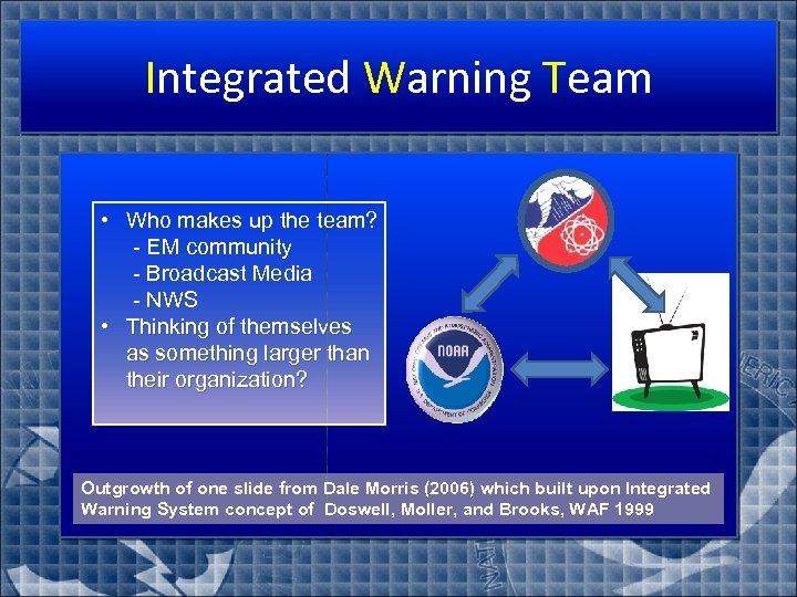
Integrated Warning Team • Who makes up the team? - EM community - Broadcast Media - NWS • Thinking of themselves as something larger than their organization? Outgrowth of one slide from Dale Morris (2006) which built upon Integrated Warning System concept of Doswell, Moller, and Brooks, WAF 1999
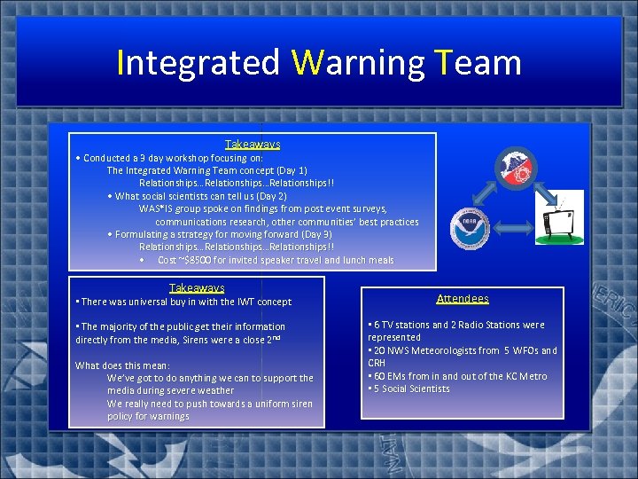
Integrated Warning Team Takeaways • Conducted a 3 day workshop focusing on: The Integrated Warning Team concept (Day 1) Relationships…Relationships!! • What social scientists can tell us (Day 2) WAS*IS group spoke on findings from post event surveys, communications research, other communities’ best practices • Formulating a strategy for moving forward (Day 3) Relationships…Relationships!! • Cost ~$8500 for invited speaker travel and lunch meals Takeaways • There was universal buy in with the IWT concept Attendees • The majority of the public get their information directly from the media, Sirens were a close 2 nd • 6 TV stations and 2 Radio Stations were represented • 20 NWS Meteorologists from 5 WFOs and CRH • 60 EMs from in and out of the KC Metro • 5 Social Scientists What does this mean: We’ve got to do anything we can to support the media during severe weather We really need to push towards a uniform siren policy for warnings
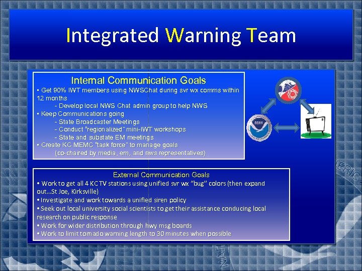
Integrated Warning Team Internal Communication Goals • Get 90% IWT members using NWSChat during svr wx comms within 12 months - Develop local NWS Chat admin group to help NWS • Keep Communications going - State Broadcaster Meetings - Conduct “regionalized” mini-IWT workshops - State and substate EM meetings • Create KC MEMC “task force” to manage goals (co-chaired by media, em, and nws representatives) External Communication Goals • Work to get all 4 KC TV stations using unified svr wx “bug” colors (then expand out…St Joe, Kirksville) • Investigate and work towards a unified siren policy • Seek out local university social scientists to get their assistance conducing local research on public response • Work for wider distribution through hwy msg boards • Work to limit tornado warning length to 30 minutes when possible
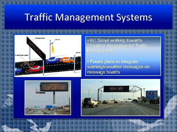
Traffic Management Systems • KC Scout working towards “Weather Integration for Traffic Management” • Future plans to integrate warnings/weather messages on message boards
Live Video Feeds
f356e03db91eac3317555391a352c777.ppt