

d0974a690c335e2c6f5dd9bdbfd8fdca.ppt
- Количество слайдов: 20
 Geospatial Information Infrastructure For Transportation Organizations Moderator: Frank Winters GIS Manager New York State DOT
 The Panel n Brian Logan – Kansas DOT Rodger Petzold – FHWA Steve Lewis – BTS Frank Winters – New York State DOT n Everyone in the room n n n
 Background n 2002 - BTS asked TRB to conduct a project • Provide Recommendation for improved Geospatial information among and across modes n Cosponsored by AASHTO n trb. org/publications/conf/CP 31 spatialinfo. pdf
 Objectives n n n Characterize current practice Identify problems and opportunities Suggest mechanisms for Geospatial Information: • Development • Management • Coordination n Recommend approaches for enhancing geospatial information
 3 workshops 1 wrap-up meeting A bunch of homework n Chicago May 2002 • Project delivery n Seattle June 2002 • Safety, Security, Mobility n Washington October 2002 • USDOT Modal administrations GPS n GIS n Remote sensing n
 Current Practice & Challenges n n n Meta-infrastructure Move from GIS Projects to Sustainable information Data sharing • Not for the sake of sharing, but for meaningful collaboration n Operational data feeds strategic decision making
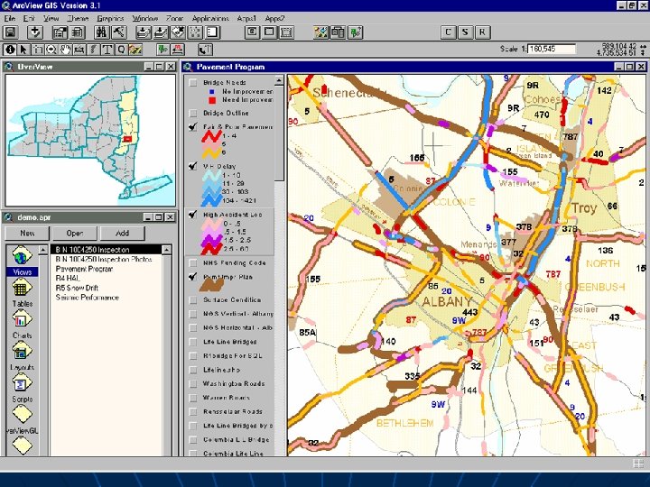
 Data Hungry Design Process n Geospatial metrics important to design • Environmental sensitivity • Accident rates • Traffic volumes • Bridge/highway inspection results • Population trends
 Data Hungry Design Process n n Historic disconnect between GIS and Design • Scale and precision needs • Scale Vs. Cost – non linear New imagery saving trips to the field
 Data Life Cycle n Geospatial data needs to more closely follow physical infrastructure life cycle Operation / Inspection Construction Planning Design
 Operational Data Feeding Strategic Decision Making Example 1 n Winter Travel Advisory • • Snow plow reports Beat schedules Traffic volumes Facility locations
 Operational Data Feeding Strategic Decision Making Example 2 n OS/OW Vehicle Routing • Capture and store every permit route applied for • Feeds future capital improvement decisions/justification n Trade corridors n Mobility
 Connections between the Modes n n Efficiency/Mobility Cost – variable Data capture Security • Need • Opportunity
 Vision, Findings, Recommendations n We will say USDOT – BTS implied
 n Gaps in the Information • Not in the domain of any mode • Establish ownership / responsibility n USDOT Operate as enabler • Not implementer • Not mandator • Not increasing federal authority • Convener of interested parties n Consolidator of information
 n Represent interest of all modes and connections in Standards setting • Recognize geographic/economic differences • Standards which are focused on providing something useful • Use metadata in place of standards
 n n Move from Project-based data to… Systemic information components of the transportation infrastructure • (Metainfrastructure) • Establish rational and procedures Support of sustainable information n Sustainable funding n
 • Knowledge") n Capacity and commitment building • Awareness (buy-in at the highest level) • Knowledge (outsourcing) • Human Capital (greatest resource) • Evolve business practices (change is good)
n Capacity and commitment building • Awareness (buy-in at the highest level) • Knowledge (outsourcing) • Human Capital (greatest resource) • Evolve business practices (change is good)
 n Training • Rapid development of programs • Short courses, workshops n Education • • • Facilitate interaction with academics Input on curricula Reciprocal learning Research-based education University consortia Mechanisms to disseminate
 n n Information clearinghouses Interaction among public, private and academics Participate in review of Legal, liability, and privacy Facilitate collaborative projects among modes