5835ff9fb1d688b9d795539b4b937181.ppt
- Количество слайдов: 10
Extracted From draft presentation JCSDA Observation System Simulation Experiments (OSSE) Plan for GOES-R Series Sounding Mission Fuzhong Weng, STAR/SMCD Stephen Lord, NCEP/EMC Lars Peter Riishojgaard, NASA/GMAO ****** 2007 1
Project Objectives: Use Full OSSEs as a Quantitative Tool for Observing System design and planning OSSEs integrate new instruments into Data Assimilation System, thereby providing complete preparation for their use (JCSDA goal) Apply OSSE system to GOES-R and other advanced instrument candidates to demonstrate the potential added value of High resolution of vertical temperature and moisture structures from GOES-R hyperspectral infrared soundings for regional forecasting (e. g. flash flood and convection) Atmospheric wind products (e. g. GOES-R infrared cloud and water vapor winds) versus a direct wind measurement Geostationary microwave sounder Joint Center for Satellite Data Assimilation 2
JCSDA OSSE Partnership Interagency NCEP, STAR, NASA (GMAO, GLA, SIVO), ESRL collaboration 10 years of experience International Effort ECMWF, KNMI joined Joint OSSE studies last 2 years European and Asian community interests growing Universities and NESDIS Corporative Institutes UWISC/CIMSS (mesoscale OSSE) CSU/CIRA (mesocale OSSE) MSU/GRI Univ. of Utah Initial Focus Global forecast impacts of HES regional impacts on hurricane and high-impact weather events Joint Center for Satellite Data Assimilation 3
Remark Severe weather cases don’t have to be local to US in OSSEs. We can make GOES-R sounder data anywhere on the planet (one of the nice things about OSSEs). While the hypothesis is that Geo IR soundings can improve prediction of severe weather events, one must not prejudge the result. Many have doubts as you might know. Better stated as a hypothesis: “what type of observation(s) will improve the prediction of severe wx events? Much fine resolution data will produce a larger scale impact by Super-Obbing effect. Joint Center for Satellite Data Assimilation 4
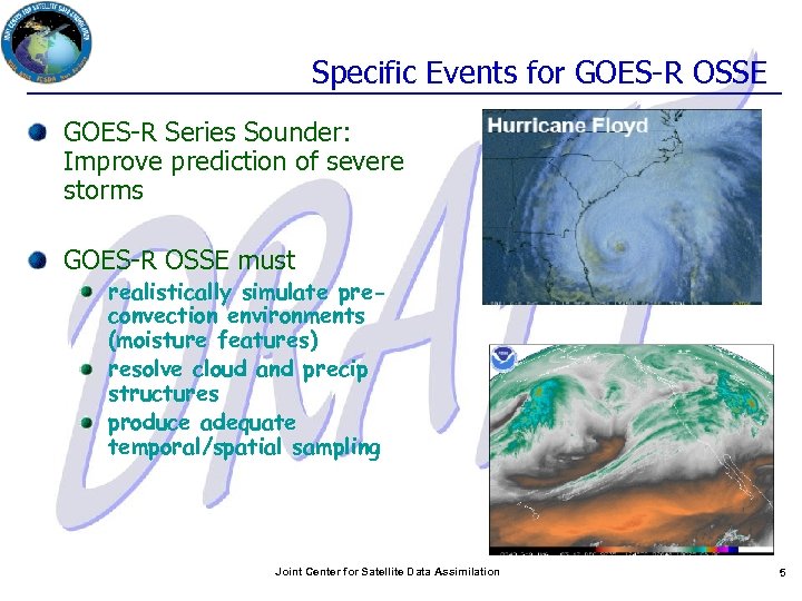
Specific Events for GOES-R OSSE GOES-R Series Sounder: Improve prediction of severe storms GOES-R OSSE must realistically simulate preconvection environments (moisture features) resolve cloud and precip structures produce adequate temporal/spatial sampling Joint Center for Satellite Data Assimilation 5
Work Plan: Phase I Preparation of Nature Runs Low Res Joint OSSE Global NR: 13 month T 511 (ECMWF) High Res Joint OSSE Global NR: two 5 week T 799 (ECMWF) Regional: CSU/RAMS (Candidate) Super high res Global NR Validation of Nature Runs Temperature/moisture/wind Cloud coverage: GOES imagery vs. simulations Cloud liquid/ice statistics: Cloudsat/Calipso vs. Simulations Initial OSSE Experiment demonstrating the assimilation of modeled temperature and humidity fields extracted from the Nature Run Joint Center for Satellite Data Assimilation 6
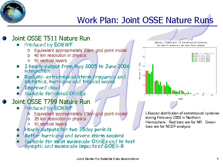
Work Plan: Joint OSSE Nature Runs Joint OSSE T 511 Nature Run Produced by ECMWF Equivalent approximately 25 km grid point model 40 km resolution in physics 91 vertical layers 3 hourly output from May 2005 to June 2006 integration Realistic extratropical storm frequency and statistics, hurricane and tropical waves Improved cloud Suitable for global OSSEs Joint OSSE T 799 Nature Run Produced by ECMWF Equivalent approximately 15 km grid point model 25 km resolution in physics 91 vertical layers Hourly outputs for two 35 day periods Better hurricane and severe storm seasons Suitable for most mesoscale OSSEs and to test synoptic and mesoscale impacts of GOES-R Joint Center for Satellite Data Assimilation Lifespan distribution of extratropical cyclones during February 2006 in Northern Hemisphere. Red bars are for NR. Green bars are for NCEP analysis 7
Need for higher resolution Nature Run Need for a Nature Run with higher resolution mesoscale OSSEs Hurricanes, lake snow effects, severe storms Less than 5 km model (without cloud parameterization) Frequency of output : 5 min Candidates Global cloud resolving model GFDL-ESRL (Planned delivery time 2012) NICAM Local high resolution global model Using Fibonacci grid Nested regional model CSU RAMS (regional atmospheric modeling system) RUC WRF Joint Center for Satellite Data Assimilation 8
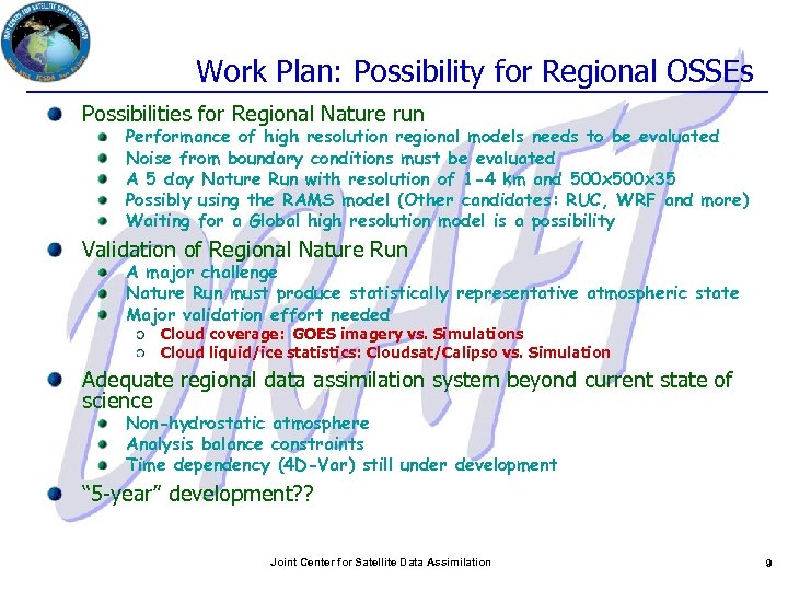
Work Plan: Possibility for Regional OSSEs Possibilities for Regional Nature run Performance of high resolution regional models needs to be evaluated Noise from boundary conditions must be evaluated A 5 day Nature Run with resolution of 1 -4 km and 500 x 35 Possibly using the RAMS model (Other candidates: RUC, WRF and more) Waiting for a Global high resolution model is a possibility Validation of Regional Nature Run A major challenge Nature Run must produce statistically representative atmospheric state Major validation effort needed Cloud coverage: GOES imagery vs. Simulations Cloud liquid/ice statistics: Cloudsat/Calipso vs. Simulation Adequate regional data assimilation system beyond current state of science Non-hydrostatic atmosphere Analysis balance constraints Time dependency (4 D-Var) still under development “ 5 -year” development? ? Joint Center for Satellite Data Assimilation 9
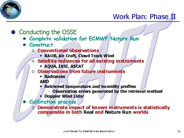
Work Plan: Phase II Conducting the OSSE Complete validation for ECMWF Nature Run Construct Conventional observations • RAOB, Air Craft, Cloud Track Wind Satellite radiances for all existing instruments • AQUA, IASI, ASCAT Observations from future instruments • Radiances AND • Retrieved temperature and humidity profiles – Observation errors generated by the retrieval method • Doppler Wind Lidar Calibration process Demonstrate impact of known instruments is statistically comparable in both Real and Nature Run worlds Joint Center for Satellite Data Assimilation 10
5835ff9fb1d688b9d795539b4b937181.ppt