b0330205bbd3d01d7f3520cf9c3bd2d0.ppt
- Количество слайдов: 16

 * Clouds appear mainly on the convective and mesoscale, most difficult to obtain atmospheric data * Clouds and mesoscale phenomena are too small to be resolved by conventional surface and upper-air networks, and too large to be observed locally * Radar is most effective instrument for obtaining observations in cloud systems. * Radar can observe the precipitation with mesoscale coverage (~200 km) and convective-scale resolution (~1 km) * Radar can also receive signals from cloud particles * Has been installed on land, ships, aircraft and spacecraft
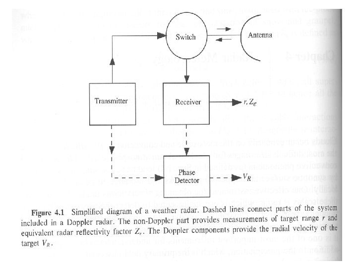
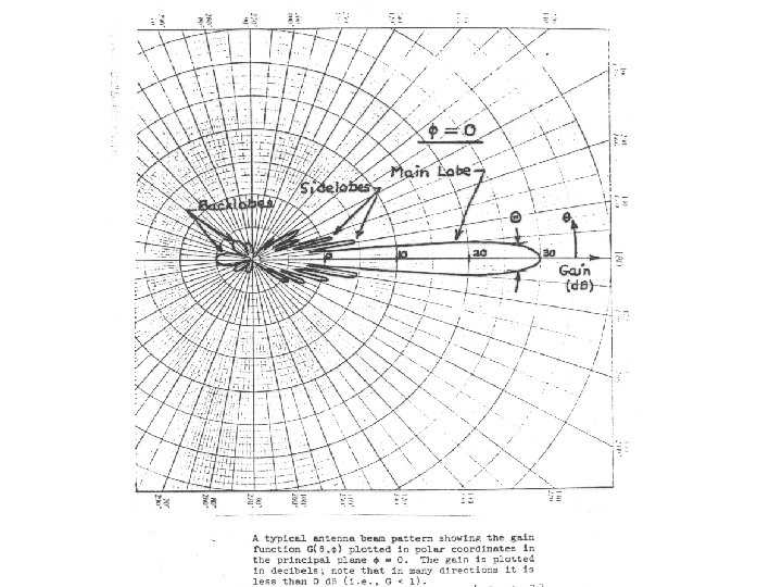
 7. 2 General principles of radar

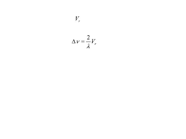
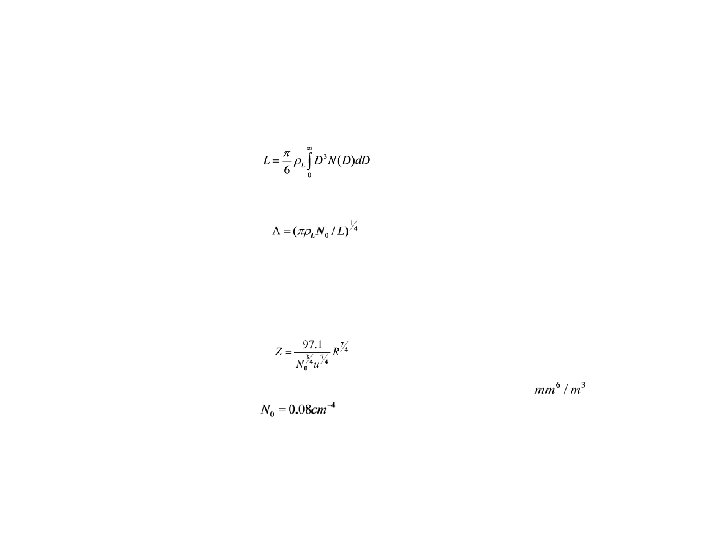
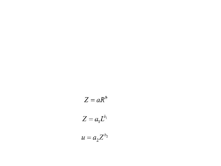
 7. 3 Radar equation Distributed Targets


") Snow and frozen precipitation will usually have a smaller value of reflectivity (d. BZ) because it is made of ice. When frozen precipitation falls to a level where the temperature is above freezing it begins to melt. The water surface on the outside will cause an increase in d. BZ, which produces a bright band on the radar image at the height near the freezing level.
Snow and frozen precipitation will usually have a smaller value of reflectivity (d. BZ) because it is made of ice. When frozen precipitation falls to a level where the temperature is above freezing it begins to melt. The water surface on the outside will cause an increase in d. BZ, which produces a bright band on the radar image at the height near the freezing level.
: maps the received signals on polar coordinates in plan view.") Plan Position Indicator (PPI): maps the received signals on polar coordinates in plan view. Range Height Indicator (RHI): shows the vertical structure of echoes which is generated when the antenna scans in elevation with azimuth fixed. Microprocessors are used to convert the signals to reflectivity Z or rainfall rate.
Plan Position Indicator (PPI): maps the received signals on polar coordinates in plan view. Range Height Indicator (RHI): shows the vertical structure of echoes which is generated when the antenna scans in elevation with azimuth fixed. Microprocessors are used to convert the signals to reflectivity Z or rainfall rate.