Labeling the map th 8 grade

Objectives of our lesson: • understand specific information in extended talk; • recognise the opinion of the speaker; put the following labels on a map; • to understand distinguish specific information about Kazakhstan;

• Half of the class are given questions and half are given answers. • You must silently go around the room trying to find out who their partner is. Could also be done with them talking and the questions and answers being stuck on your backs to make it a bit more challenging.

Video •

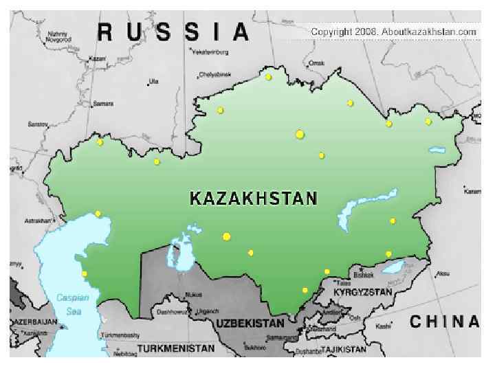
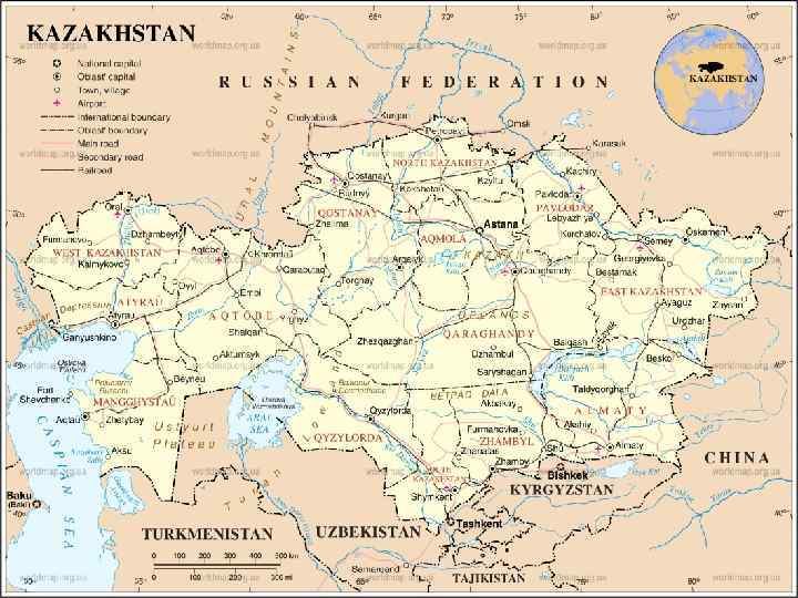
This is a map of Kazakhstan. It shows cities and towns. We can also see that Kazakhstan is connected to other places in the world. Rivers and seas help people travel to and from Kazakhstan. Russia is the country to the north. Uzbekistan is the country to the south. This section will explore the geography of Kazakhstan.

Vocabulary • Shrub- куст semi-desert -полупустыни, • Pastures -пастбища, shrubbery- кустарник mountainous- горный • Glaciers -ледник, limestone-известняк , • plateau -плато, arid- засушливый, • wetlands-заболоченный, • Swamps- болота, meadow- луг, • mountain range –горная цепь, • vegetation- растительность ,